
Map: Hauraki Gulf with scale drawn by Cliff Hawkins
Maker
Hawkins, Clifford William (b.1914, d.2007)
Production date
1993
See full details
Object detail
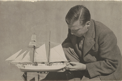
Illustration appears on page 60 of the monograph:
Convicts and kauri: the story of the HMSS Coromandel / by C.W. Hawkins, published by the Whakatane & District Historical Society Inc., 1993.
Monograph, ISSN 0110-4004 ; 23.
Monograph (Whakatane & District Historical Society) ; no. 23.
Share
Object type
Subject category
Related highlights
The online platform at New Zealand Maritime Museum Hui Te Ananui a Tangaroa (NZMM) is continually developing. Records are updated with new information and images regularly. There may be errors or omissions in the information provided and we welcome input from the public.
The NZ Maritime Museum aims to provide free use of our Collections Online content. The majority of the online images are available for download and reuse, free of charge. We ask that our material is appropriately attributed, and that users adhere to restrictions when these are indicated. For guidance and information regarding attribution, rights and restrictions please read our Image Use Policy or contact the Collections Team.
Public comments
Be the first to comment on this object record.